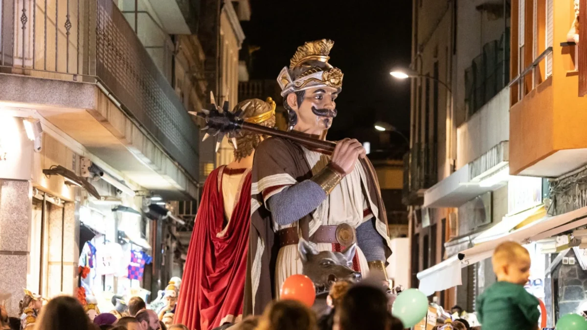
Calella’s Festa Major Petita 2025
The Festa Major Petita brings Calella to life from June …

The Festa Major Petita brings Calella to life from June …
Saint John’s eve in Calella 2025 Two ways to celebrate …

Discover the Aplec de la Sardana 2025 in Calella Four …

Firatast in Calella 2025 Enjoy gastronomy, music, and family activities …

Strawberry Season in Calella Enjoy the Maresme strawberry season throughout …

Easter in Calella Enjoy this Easter in Calella and discover …

20th edition of the festival Festimatge in Calella Visit Calella …
Sant Jordi’s Day 2025 Discover the legend of Saint Jordi …

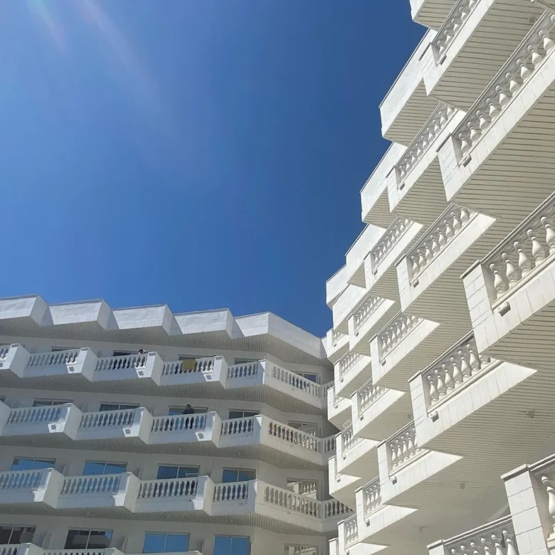
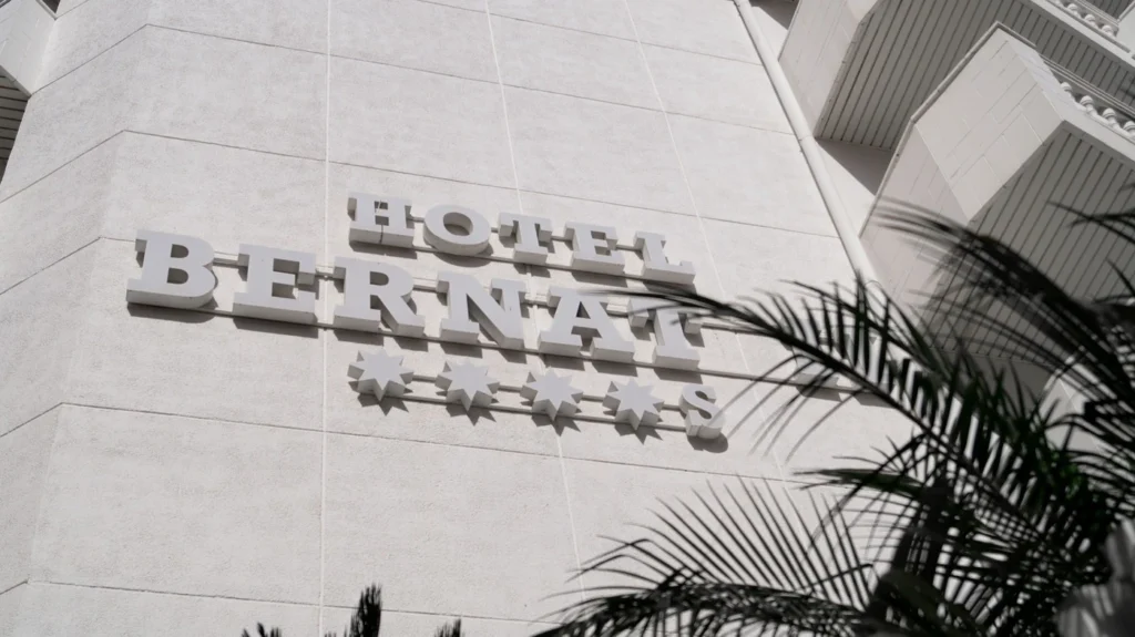
Discover our Premium Rooms! This 2025 Hotel Bernat II presents …
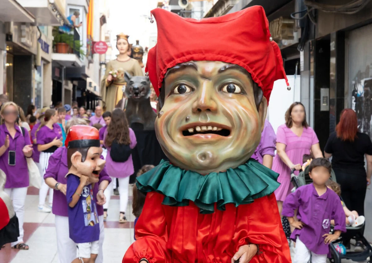
The Festa Major Petita brings Calella to life from June 13th to 16th tradition, culture and family activities June in Calella means celebration. The town honors its patron saints, Sant Quirze and Santa Julita, with the Festa Major Petita—one of the most cherished events on the local calendar. From June …
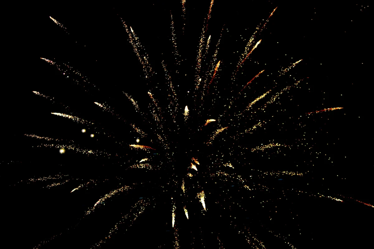
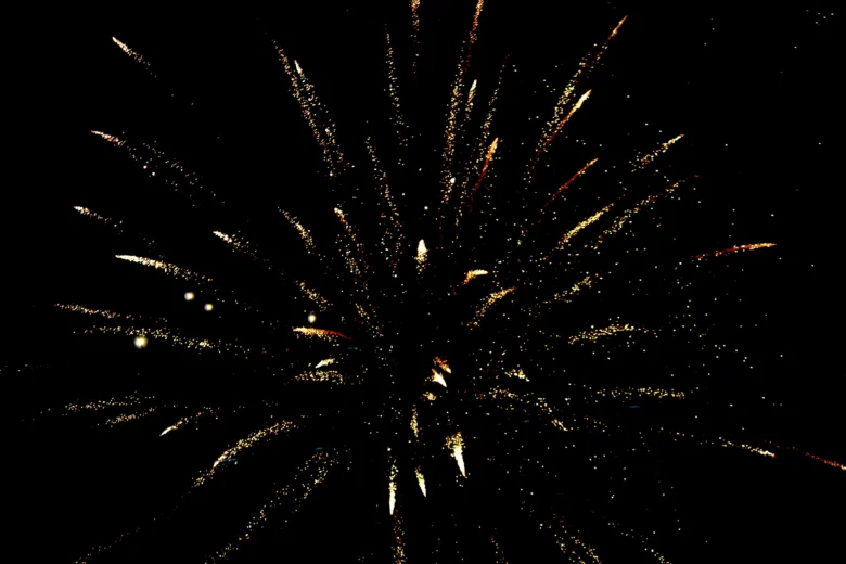
Saint John’s eve in Calella 2025 Two ways to celebrate the Saint John’s evel in Calella The Night of Saint John in Calella is one of the most traditional summer celebrations. In Calella, this festival offers something for everyone. Hotel Bernat II propone dos opciones ideales para disfrutarla al máximo: …
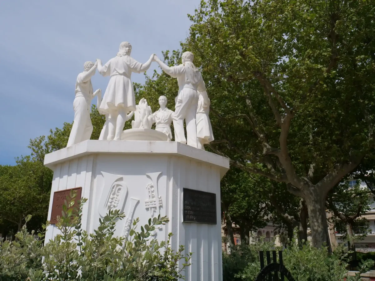
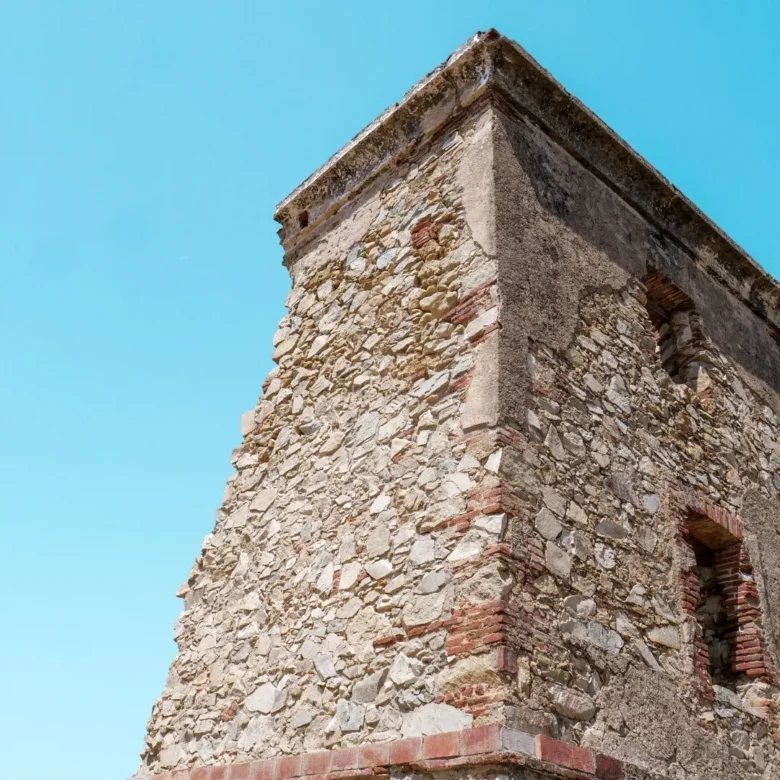
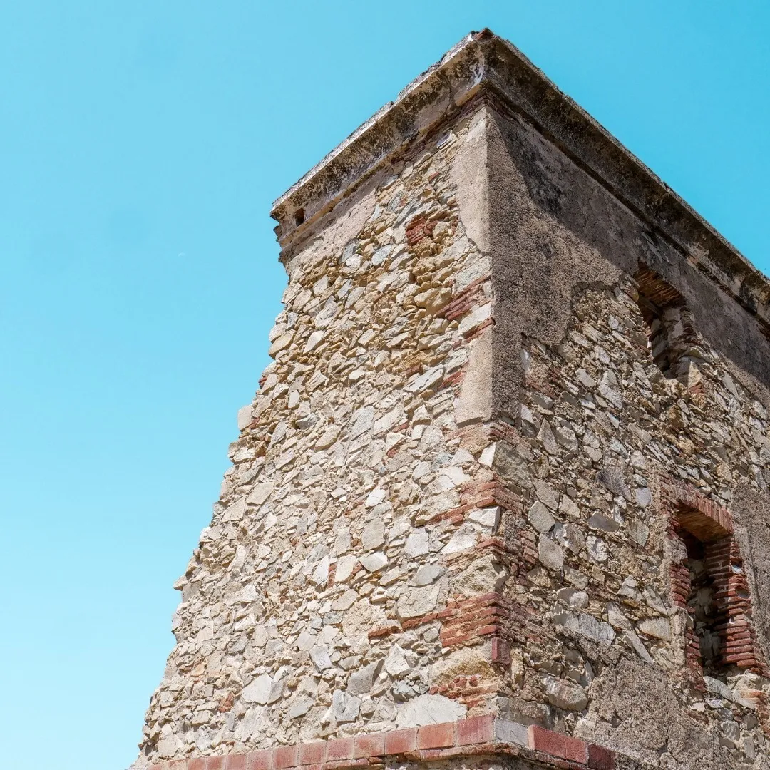
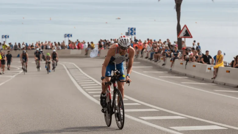
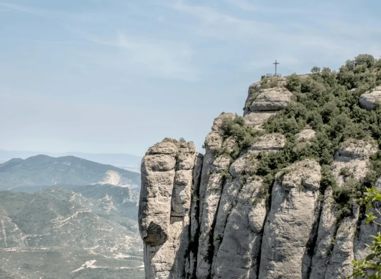
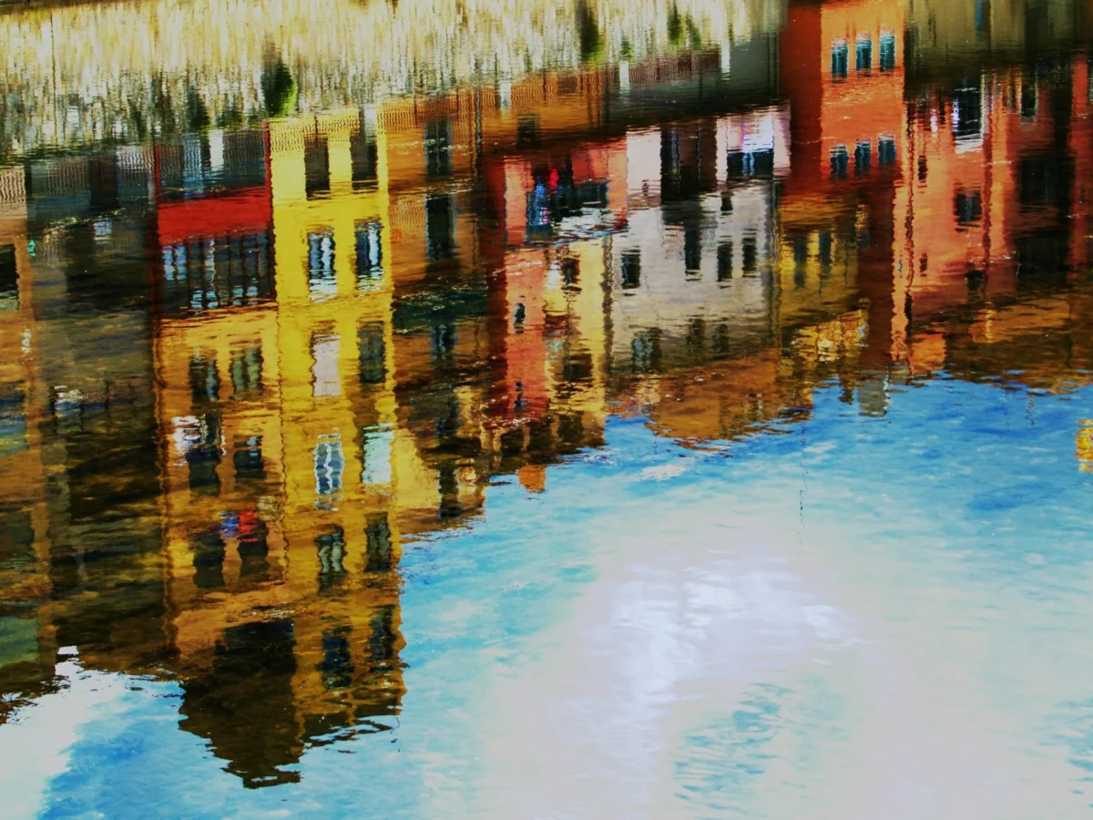
Discover the Aplec de la Sardana 2025 in Calella Four days of tradition and culture with Calella’s Aplec de la Sardana From May 29 to June 1, 2025, Calella becomes the capital of the sardana with the 97th edition of the Aplec de la Sardana, also known as l’Aplec Pairal …
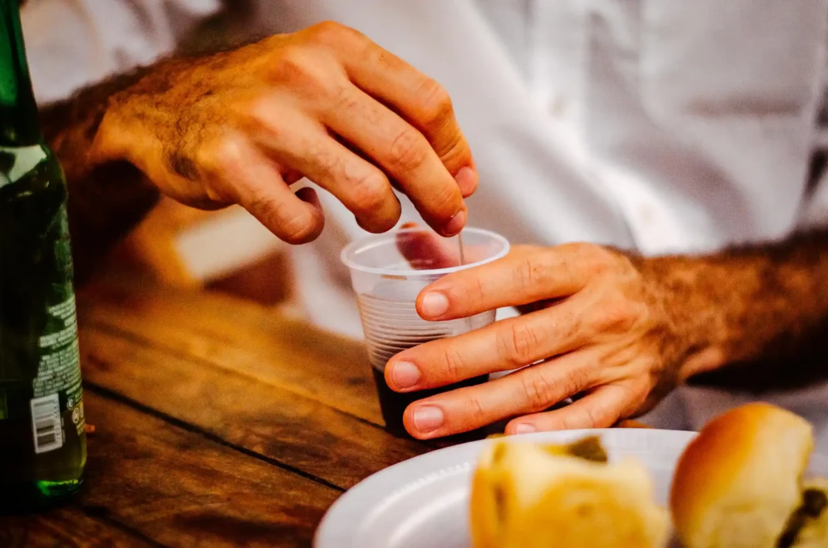
Firatast in Calella 2025 Enjoy gastronomy, music, and family activities from May 16th to 18th in Parc Dalmau May is a month when Calella comes alive with cultural, gastronomic, and festive events. The pleasant weather invites you to stroll around, discover charming corners, and, above all, enjoy life’s simple pleasures. …
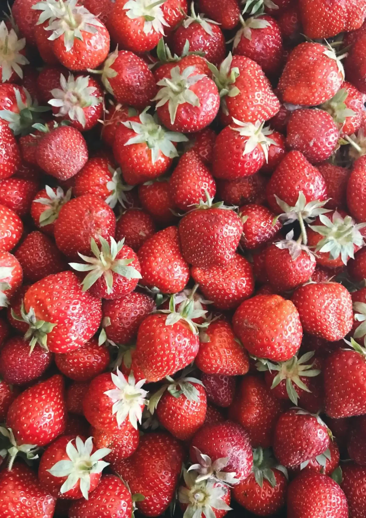
Strawberry Season in Calella Enjoy the Maresme strawberry season throughout May at Hotel Bernat II With the arrival of May comes one of the most anticipated times for local producers and lovers of seasonal fruit: the strawberry season in Maresme. This fruit, mainly grown in towns like Calella, has become …

Easter in Calella Enjoy this Easter in Calella and discover the activities taking place in the city Easter is one of the best times of the year to go on holiday and enjoy a few different days in another city or country. In Calella, these days are celebrated with a …

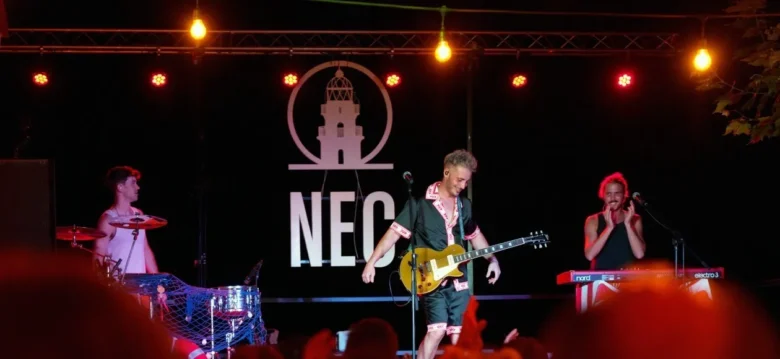
20th edition of the festival Festimatge in Calella Visit Calella during the twentieth edition of the Festimatge and enjoy its cinematic exposition If you are a lover of photography and cinema, or simply looking for one more reason to visit Calella this year, you cannot miss the XX Image Festival …
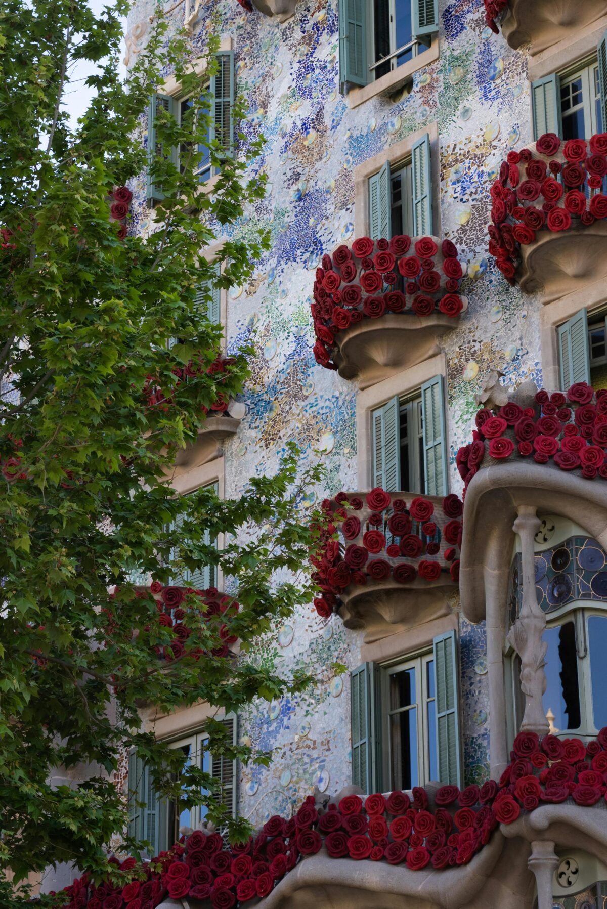
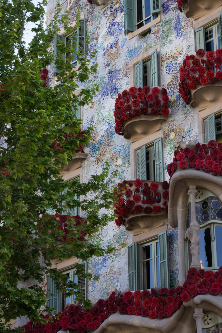
Sant Jordi’s Day 2025 Discover the legend of Saint Jordi and the activities that will take place in Calella to commemorate it Every April 23rd, Catalonia is filled with colours, books, and roses to celebrate one of the most important festivities for Catalans: Sant Jordi Day. On this special day, …

Discover our Premium Rooms! This 2025 Hotel Bernat II presents its new Premium Rooms With the arrival of spring, we wanted to bring you a surprise! We are pleased to introduce the new Premium Rooms at Hotel Bernat II, designed to offer you a comfortable and special experience during your …